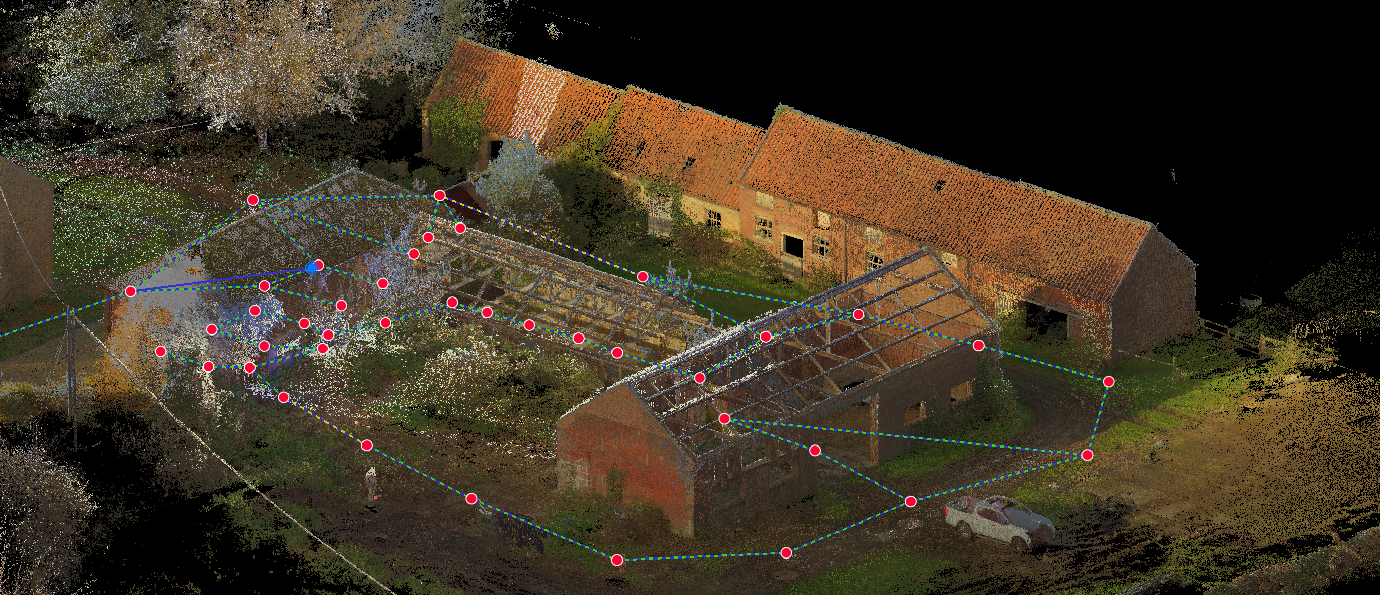
Laser Scanning and 3D Imaging
We have recently invested in the latest generation of Leica imaging laser scanners to add to our high tech equipment inventory.
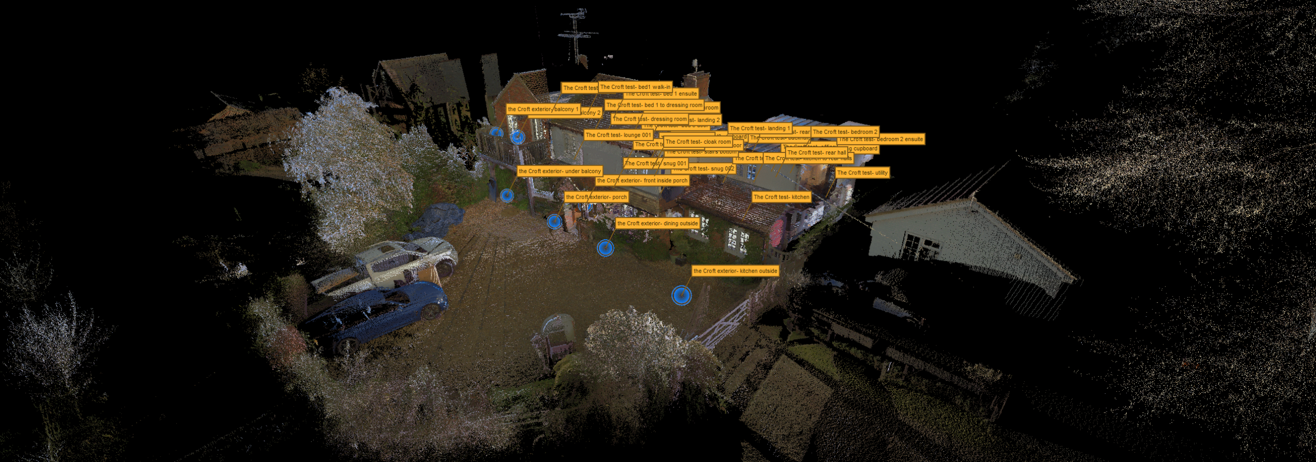
By combining these with our GPS and total stations we can now produce geo-referenced high resolution high accuracy 3D laser point clouds and full colour panoramic images. Ideally suited to accurate and photo realistic measured building surveys, 3D ‘walkthroughs’ and a multitude of other disciplines. This system dramatically reduces the amount of survey time required on site decreasing disruption and inconvenience to building occupants and alleviating the need for site revisits.
Scanned data and imagery can be supplied to the client with software for their own viewing purposes.