
Aerial photogrammetry
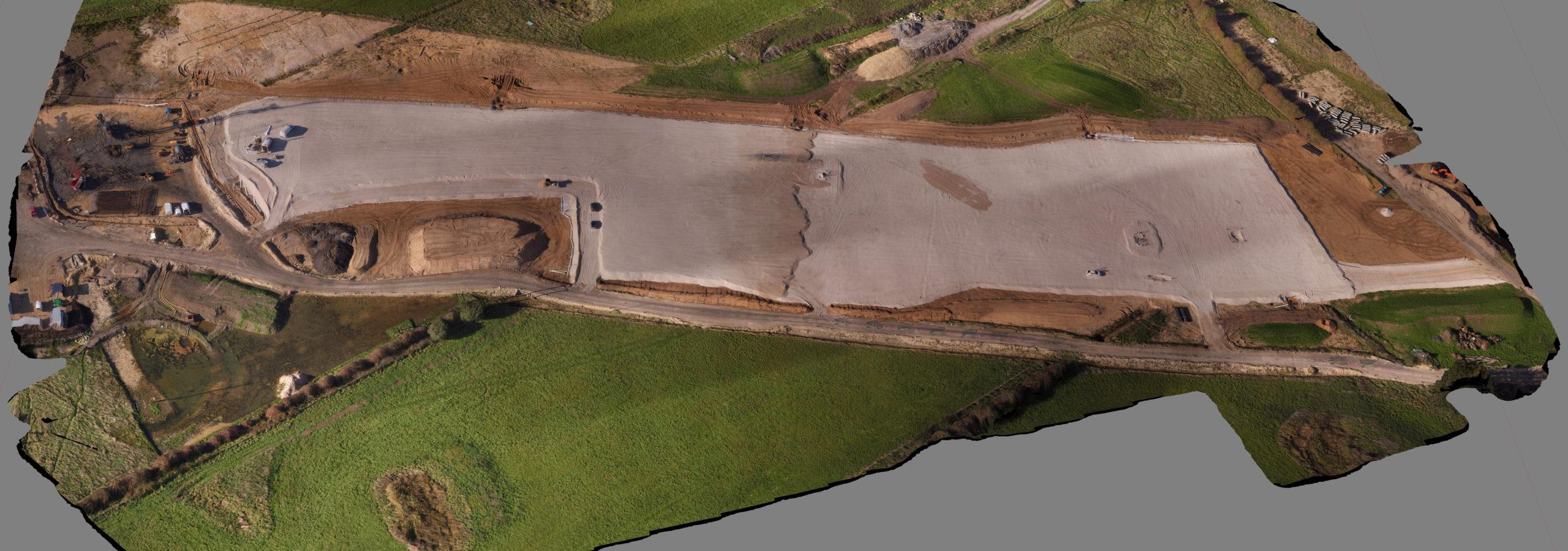
We acquire and process UAV aerial photography. From single property marketing images to large scale site mosaics for progress reporting and quantity calculations.
We provide an in-house drone photography service for single frame promotional photos to large mosaics for progress reporting and quantity calculations. With suitable ground control points the orthomosaic can be developed into an accurate 3D digital elevation model. Accurate repetition of the same survey on a regular basis can provide invaluable photographic and quantity records.